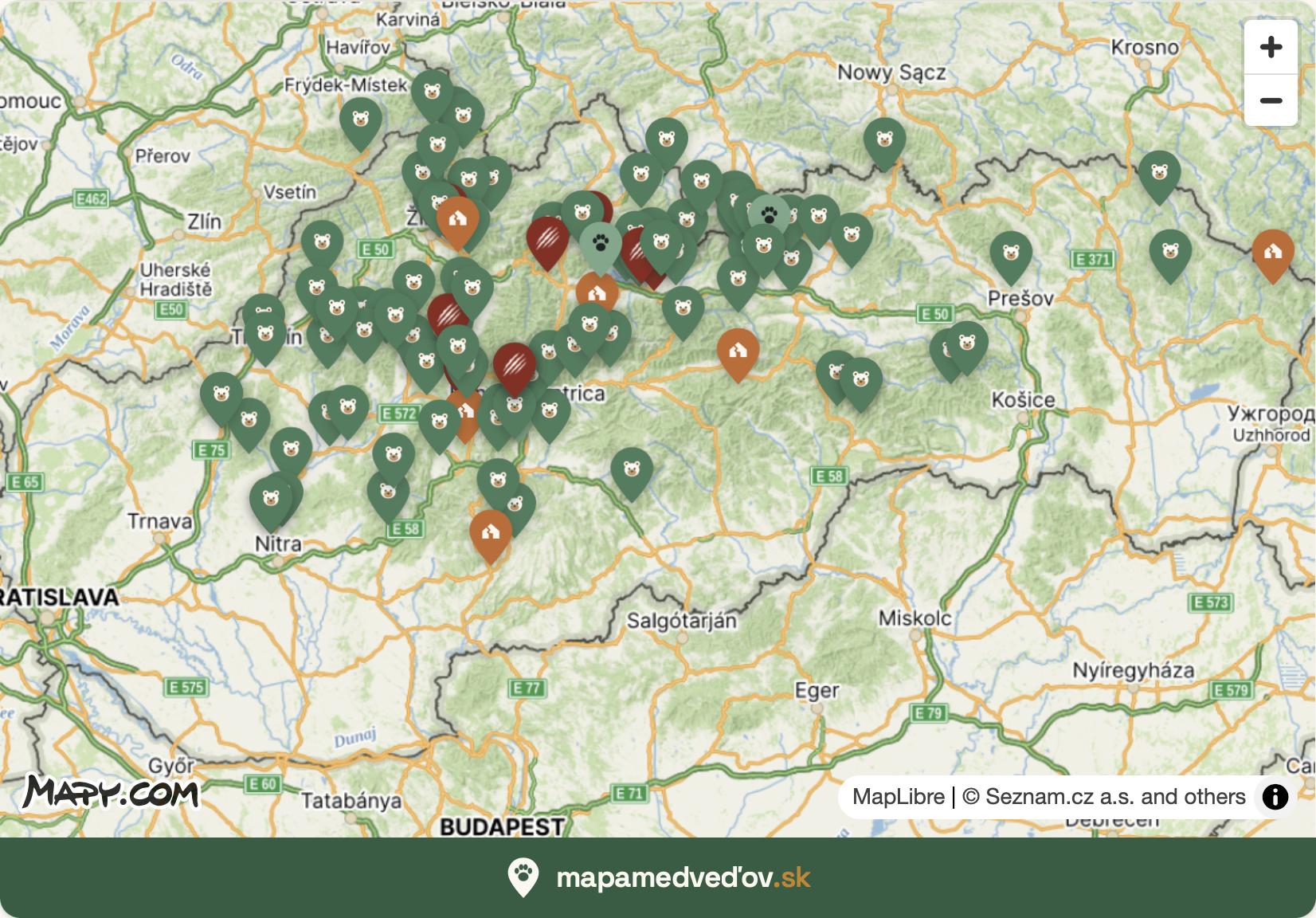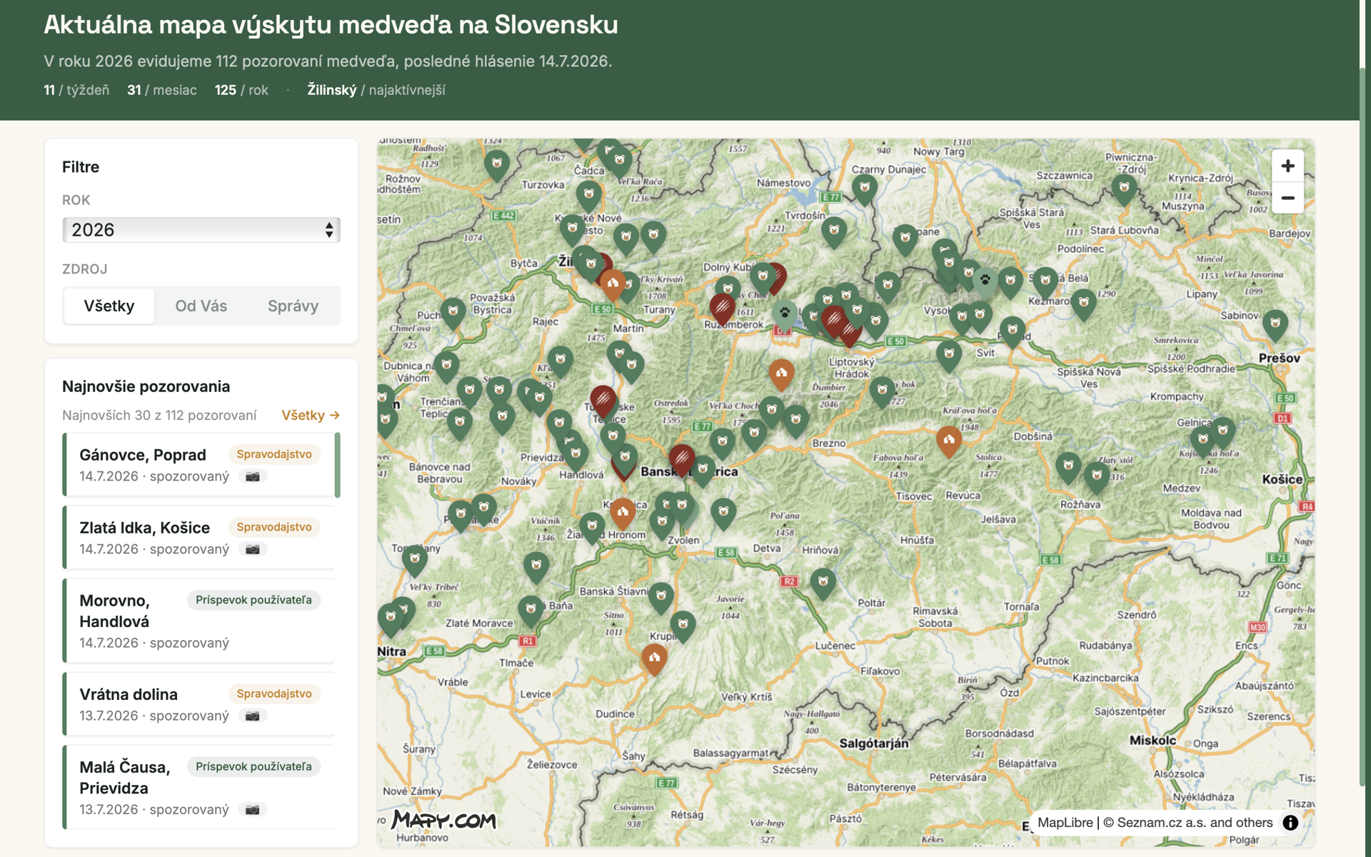
Mapa medveďov — mapamedvedov.sk
Web app with an interactive map of bear sightings
A free, public-interest community map of brown-bear sightings across Slovakia. It aggregates verified reports from the public, Slovak news media, and official sources (ŠOP SR), then geolocates and plots them on an interactive Mapy.com map to help residents and outdoor-ers stay informed and safe in bear country. Non-commercial, freely accessible to everyone.
We use the Mapy.com REST API to render the interactive base map shown to every visitor — map tiles (v1/maptiles) displayed via MapLibre GL. In the sighting-report form we also use location autocomplete (v1/suggest), geocoding (v1/geocode, place → coordinates) and reverse geocoding (v1/rgeocode, coordinates → place name) so users can pin where they saw a bear. Map tiles make up the large majority of requests; geocoding and autocomplete are called only when someone submits a report.