Plánovač tras KČT
Official and up-to-date route maps from the Czech Tourist Club
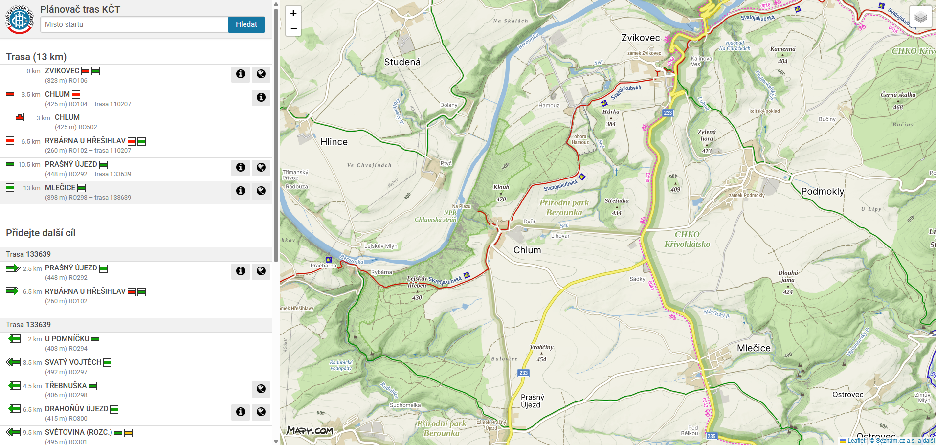
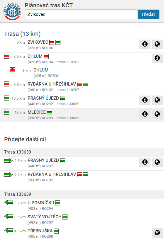
The official KČT app, which makes up-to-date trail marking records available to the general public. It provides information on distances, route numbers and points of interest along the route.
The map serves as a supplementary feature of the app, helping users to follow the actual route.