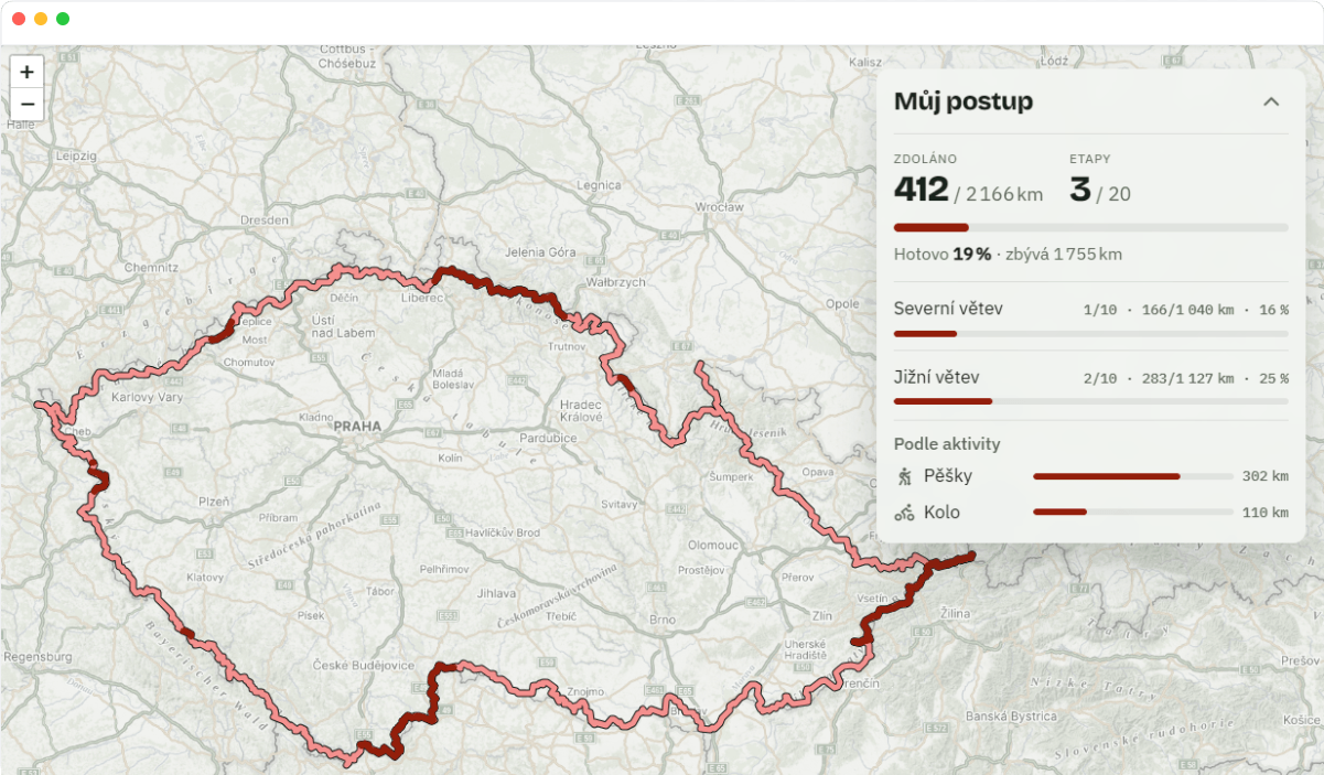
Po Stezce Сeskem
Progress tracking along Stezka Сeskem
An app for people walking Stezka Сeskem in stages. Upload the GPX files from your hikes and see on the map how much of the trail you already have behind you and what is left. Progress can be shared with friends via a link.
We use the Mapy.com API as the map base layer. Raster tiles are loaded into Leaflet, with the Stezka Сeskem route and the GPX tracks uploaded by the user drawn on top. The default base layer is the tourist one, the user can switch to the outdoor layer. The map includes the required Mapy.com attribution. We chose this API for its coverage of Czech hiking trail markings, which matters for a trail app. We do not use geocoding or routing yet, the API key is restricted to the postezce.cz domain.